


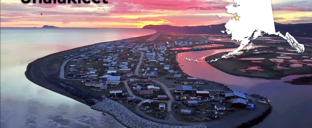
In this session we heard how the City of Unalakleet is engaging in climate adaptation initiatives and decision-making. Unalakleet is one of the communities participating in the ongoing coastal mapping workshops and projects that are recording topographic (land elevation) data in addition to bathymetric (water depth) data in the shallow waters adjacent to coasts (topobathymetric data) along the Norton Sound region. We also learned about how these data are being used to develop future flood hazard maps for participating communities for use in coastal hazard planning.
Speakers:
Kelsi Ivanoff- City Administrator for Unalakleet
Erin Trochim – UAF INE Assistant Research Professor, Coastal Mapping Lead
Maya Hayden – USGS Pacific Coastal and Marine Science Center, Director of Outreach and Engagement
Li Erikson – USGS Pacific Coastal and Marine Science Center, Research Oceanographer